Continuous Digital Twin Software vs. Hardware LiDAR Scanners
Explore how Splatica's software-only platform compares to Xgrids Lixel L2 Pro and Matterport Pro3 for continuous, real-time enterprise facility mapping.
COMPETITIVE LANDSCAPE
Quick scan everyone can do
How Splatica redefines facility intelligence
For Enterprise AEC Teams
Splatica
THE SPLATICA WAY
No LiDAR. No Specialists.<br/>Evergreen digital twin using regular consumer devices<br/>
Collect from what you already own. Update continuously. Understand automatically.
No Expensive Hardware
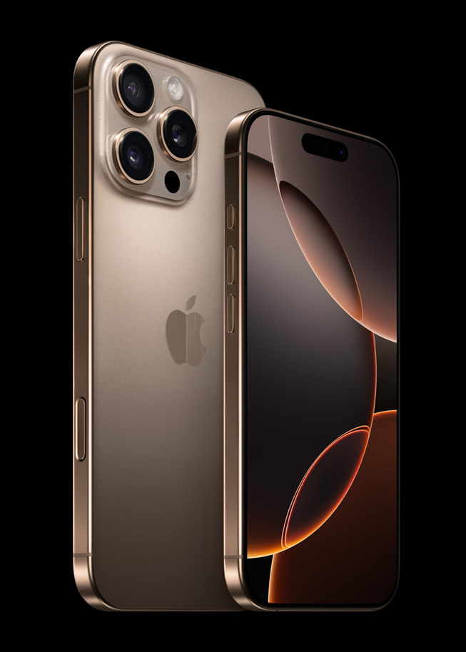
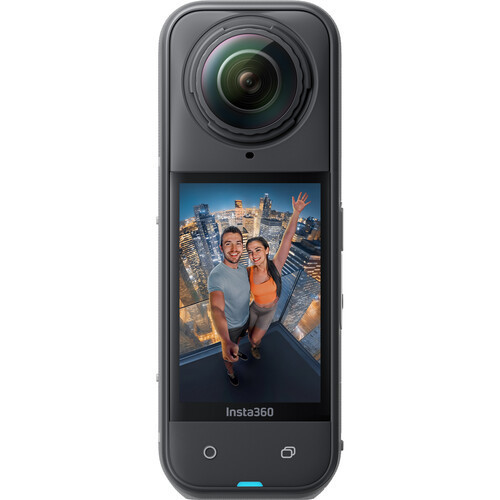
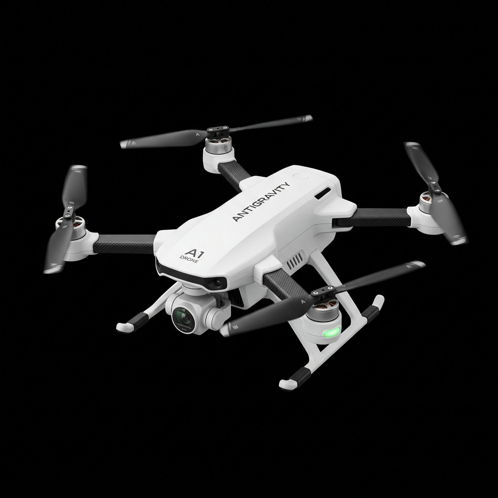
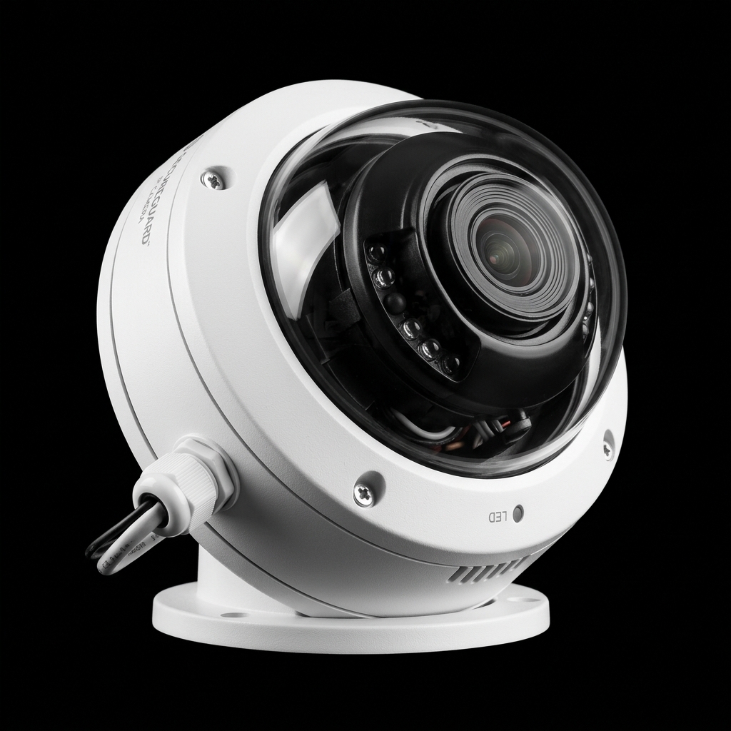
Use phones, 360 cameras, drones or existing CCTV. No LiDAR purchase required.
Zero Processing Effort
Upload data and it's automatically processed. No specialist pipeline to manage.
Git for Spatial AI
Push only what changed. Update deltas, not full rescans. Your digital twin stays current.
Many Devices, One Living Twin
Smartphones, 360s, CCTV, robotic cams all feed a single continuously-updated model.
What once was a mega-project for specialist companies is now done by your existing workforce, CCTV, and robots. Whatever you have now becomes the base model. What once was a static snapshot is now a living, breathing copy of your facility — visually segmented, semantically labelled, and connectable to live data sources.
* Semantic segmentation and live data source integration in development.
MARKET MAP
One Quadrant Nobody Has Claimed — Until Now
CONTINUOUS
POINT-IN-TIME
HARDWARE-BOUND
SOFTWARE-ONLY
No incumbent — fleet LiDAR vendors haven't made the move
SPLATICA
Continuous. Software-only.
Cameras you already own.
Xgrids Lixel L2 Pro
Matterport Pro3
Free tools (Polycam, Luma) — not enterprise
Splatica
COMPETITOR PROFILE
Xgrids Lixel L2 Pro
High-fidelity handheld SLAM scanner with Gaussian Splatting output
FORM FACTOR
Handheld, ~1.7 kg. Single operator.
LiDAR
32-channel, 640,000 pts/sec. Up to 120–300 m range.
ACCURACY
±1–2 cm relative, <3 cm absolute
CAMERAS
Dual/quad 48 MP panoramic
OUTPUT
Point clouds + Gaussian splats via LCC Studio. Revit plugin. Unity/Unreal SDKs.
Where It Falls Short
Hardware-bound — one device per operator
Point-in-time — no continuous update story
No semantics or physics-ready output by default<br/><br/>High cost, scaling problem<br/>Closed ecosystem<br/>
<br/>
COMPETITOR PROFILE
Matterport Pro3
Tripod-mounted LiDAR camera with enterprise SaaS platform
Tripod-mounted. Indoor + outdoor capable.
134.2 MP panoramic. 100K pts/sec. Up to 100 m range.
±20 mm at 10 m. <20 sec per scan position.
E57 point clouds, MatterPaks (floor plans, OBJ)
SaaS with Procore & Autodesk Construction Cloud integrations
Where It Falls Short
Hardware-bound — scan campaigns, not continuous monitoring
Real estate DNA — UX designed for property tours, not industrial ops
No live semantic update — no robotics-ready output<br/>Closed ecosystem<br/>
<br/>
COMPARISON
Five Dimensions That Define the Category
DIMENSION
Xgrids Lixel L2 Pro
Matterport Pro3
Splatica
EQUIPMENT
Handheld LiDAR + 48 MP cameras, tens of thousands per device
LiDAR camera, ~$6–7K + SaaS subscription
Phones, 360s, drones, existing CCTV — hardware you already own
CONTRIBUTORS
One trained operator per device
One trained operator per device
Anyone with a phone. Dozens per facility.
REFRESH CADENCE
Per campaign. Months between updates.
Per campaign. Months between updates.
Continuous. Delta updates on changed areas.
ASSET STRUCTURE
Point clouds + Gaussian splats. Manual tagging downstream.
Floor plans, OBJ, MatterPaks. CMMS/BIM via partners.
Segmented objects, semantic labels. OpenUSD + PhysX. Robotics-ready.
PLATFORM
LCC Studio + Revit plugin + game engine SDKs
Matterport SaaS + named integration partners
API-first. Multi-format exports. Embeddable web viewer.
Splatica
WHY SPLATICA
The Only Continuous, Software-Only Digital Twin Platform
Zero New Hardware
Deploy with existing phones, 360 cameras, drones, or CCTV. No capital equipment purchase.
Continuous Updates
Targeted delta scans. Facilities stay current without full campaigns.
Semantic + Physics-Ready
Objects labeled, segmented, exported as OpenUSD with PhysX metadata. Built for robotics and automation.
API-First Platform
Embeddable viewer, multi-format exports, open integrations. Not a walled garden.
Competitors own a moment in time. Splatica owns the living facility.
Splatica
GET STARTED
Your Facility is Changing Right Now. Is Your Digital Twin?
Book a demo and see how Splatica turns any camera into a continuously updating, semantics-rich digital twin.
Book a Demo →
splatica.com
Splatica
- digital-twin
- spatial-ai
- aec-technology
- gaussian-splatting
- lidar-alternative
- facility-management
- robotics-ready