
How GPS Works: Satellite Technology & Everyday Impact
Discover how the Global Positioning System (GPS) uses satellite signals and trilateration to determine your precise location on Earth.
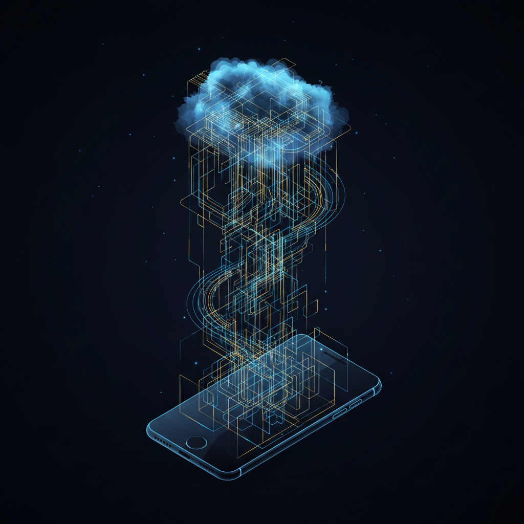
How does your phone know where you are?
Understanding GPS Technology
Lesson Objectives
Understand what GPS is and its definition
Learn how the satellite technology actually works
Understand its critical importance in everyday life
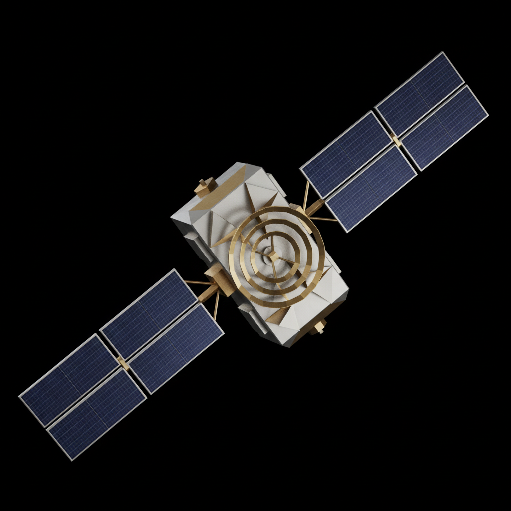
What is GPS?
GPS stands for Global Positioning System. It is a satellite navigation system used to determine location, belonging to the family of data-driven connectivity technologies.<br><br>While initially developed as a military technology, it is now a cornerstone of civil life and modern infrastructure.
Who Uses GPS?
Smartphones & Personal Devices
Automobiles & Navigation Systems
Aviation & Global Logistics
Food Delivery & Location-based Services
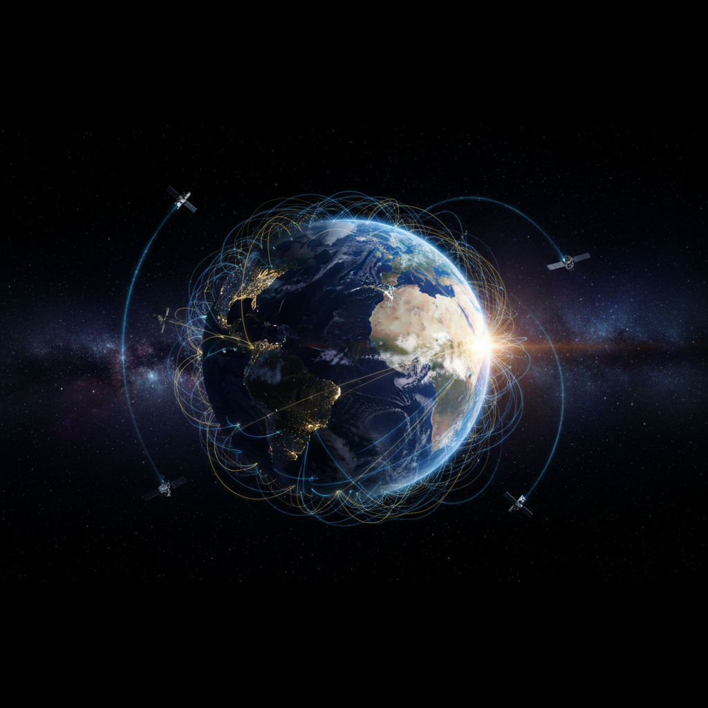
How GPS Works
1. Satellites constantly transmit signals containing precise location and time data.<br><br>2. GPS receivers (like the chips in phones) capture these signals.<br><br>3. The device determines its position by measuring exactly how long the signal took to arrive.
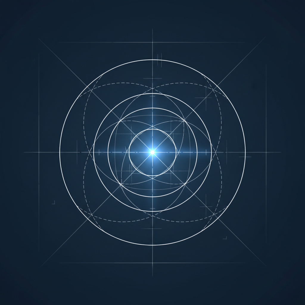
Trilateration
Your device calculates the distance to each visible satellite based on signal delay. This process is called trilateration.<br><br>To pinpoint your exact location accurately (latitude, longitude, and altitude), the receiver needs to lock onto at least 4 satellites.
Accuracy Factors & Tips
Conditions Matter: Open areas provide better signal than dense cities or tunnels.<br><br>Weather Effects: Heavy rain and thick clouds can degrade signal quality.<br><br>Best Practice: GPS works best outdoors with a clear view of the sky.<br><br>Lifehack: Enable 'High Accuracy' mode and restart GPS if the connection is poor.
Benefits vs. Limitations
✅ Benefits
• High Speed<br>• High Accuracy<br>• Global Coverage
⚠️ Limitations
• Works poorly indoors<br>• Depends on signal quality<br>• Battery drain
Critical Applications
<strong>Search & Rescue:</strong> GPS coordinates allow rescuers to locate people in mountains, forests, or at sea quickly, working in tandem with SOS beacons.<br><br><strong>Wildlife Protection:</strong> Researchers use GPS collars to track animal migration patterns and protect endangered species with precise location data.
Conclusion & Task
Interactive Task: Open your map app and check your own location accuracy radius. Think about where it might fail.<br><br>GPS is an essential technology that empowers our daily navigation and safety.<br><br>Thank you for your attention!
- gps
- satellite-navigation
- trilateration
- technology-basics
- navigation-systems
- geospatial