

AI Road Condition Classifier: Pothole Detection Project
Discover how AI-driven image classification using Teachable Machine can monitor infrastructure and identify potholes for safer road maintenance.
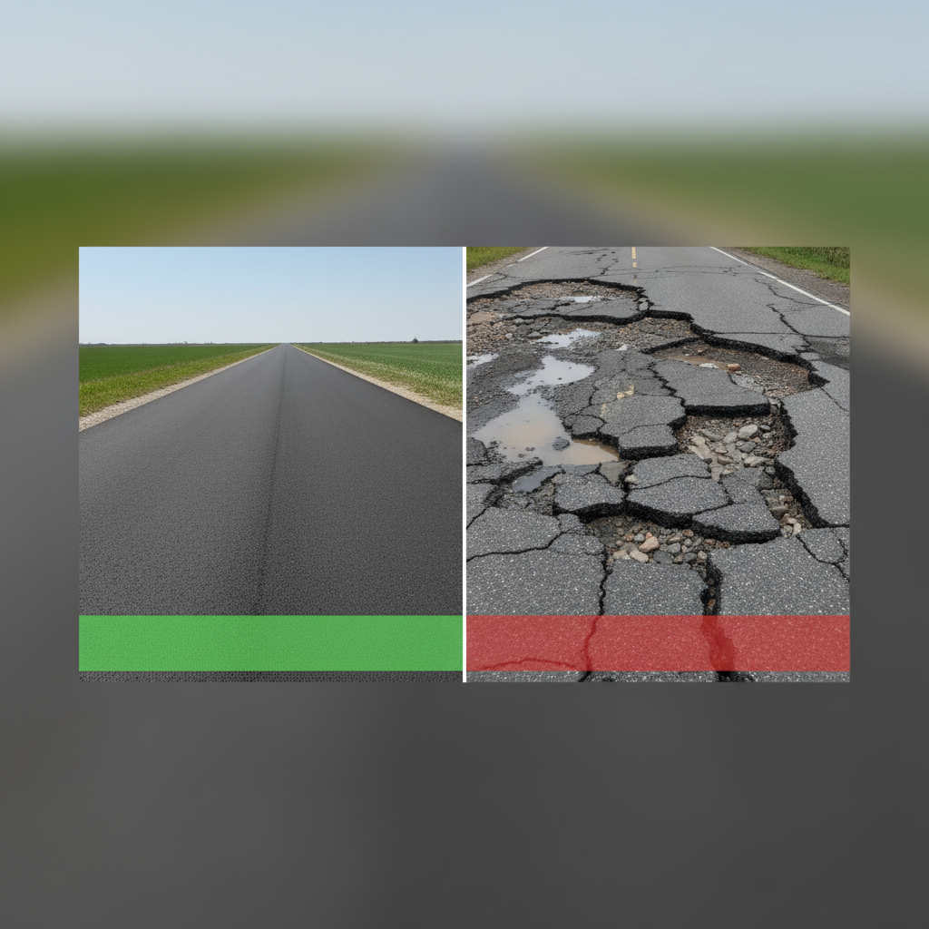
ROAD CONDITION CLASSIFIER (GOOD / POTHOLE)
Using Image Classification – Teachable Machine
Interdisciplinary Problem-Solving Project Work<br>Submitted by Name – USN<br>Department of Civil Engineering<br>EAST WEST INSTITUTE OF TECHNOLOGY<br>Academic Year: 2025–26
INTRODUCTION
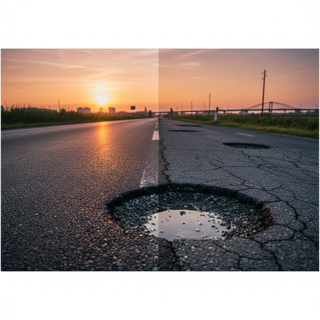
Road damage such as potholes affects safety and vehicle performance.
Manual road inspection is time-consuming and costly.
Image-based classification provides a fast and economical solution.
This project uses Teachable Machine to classify road conditions
PROBLEM STATEMENT & OBJECTIVES
<b>Problem Statement</b><br>To automatically identify road condition from images as Good or Pothole<br><br><b>Objectives</b><br>• To collect road images for different conditions<br>• To train an image classification model using Teachable Machine<br>• To classify road images accurately
REVIEW OF LITERATURE
Previous studies use image processing and machine learning for road inspection
Manual surveys lack accuracy and scalability
Deep learning improves image-based classification
Teachable Machine enables easy ML model creation without coding
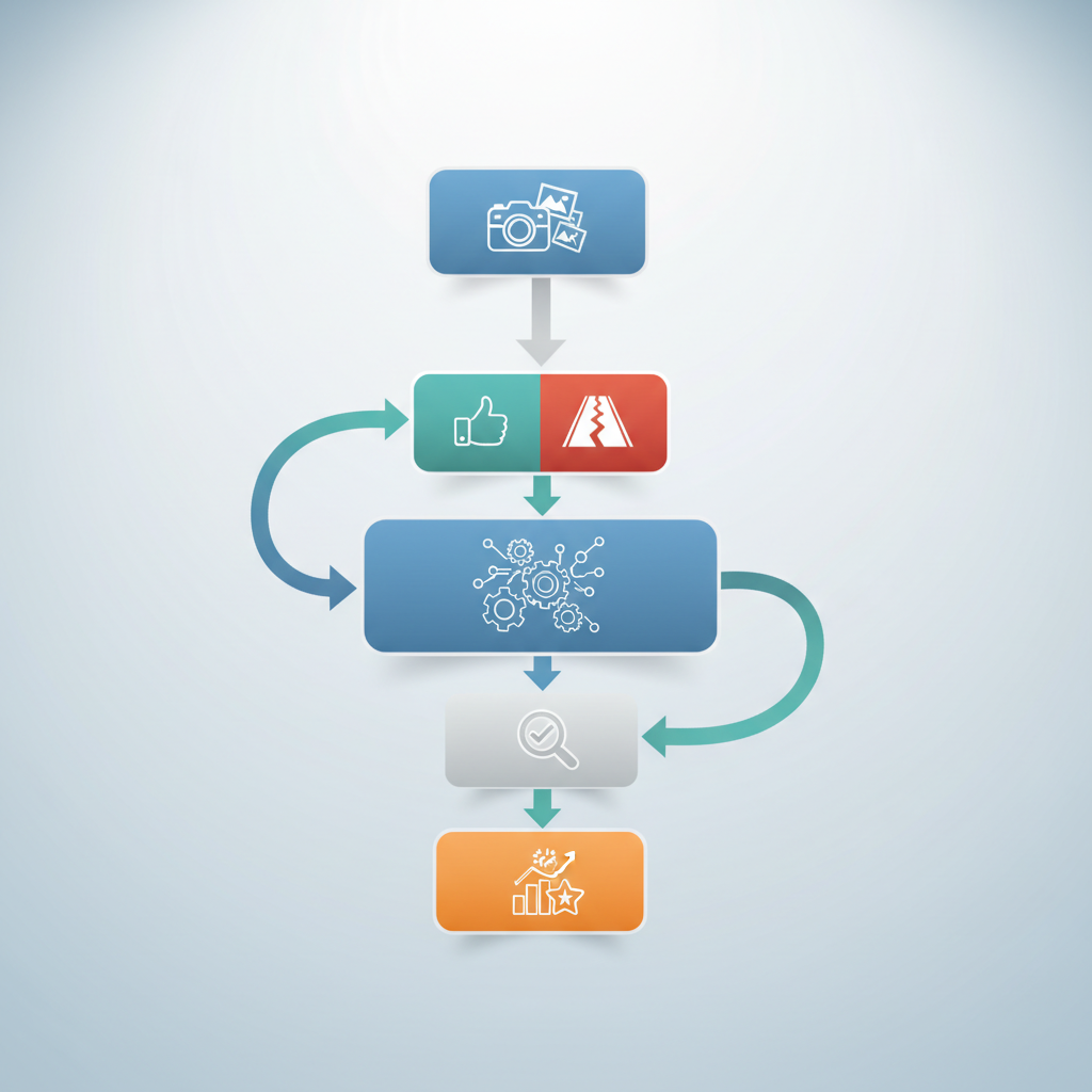
METHODOLOGY
The workflow follows a systematic approach from data collection to model evaluation. The process uses Google's Teachable Machine for training and validation.
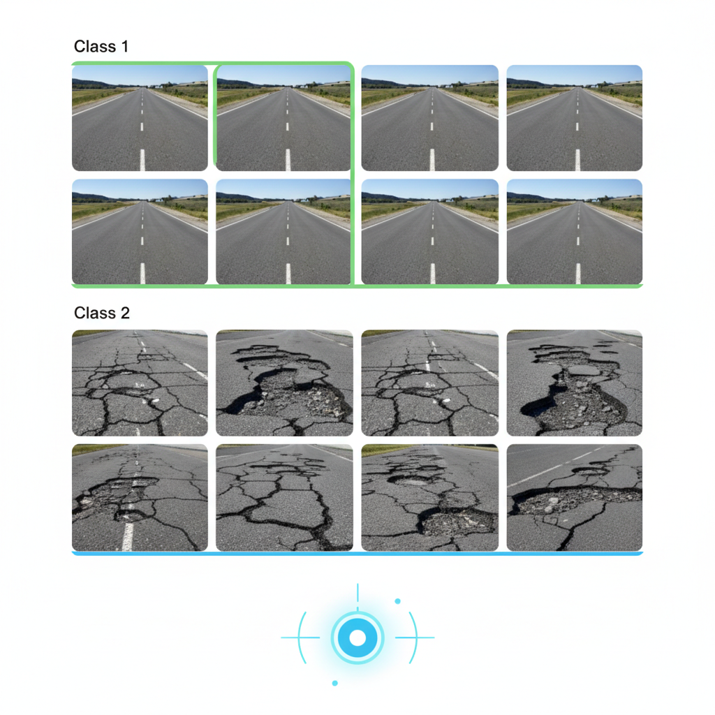
<ul><li>Collection of road images</li><li>Classification into two classes:<ul><li>Good Road</li><li>Pothole Road</li></ul></li><li>Training the model using Teachable Machine</li><li>Testing with new images</li><li>Evaluation of classification results</li></ul>
DATASET & TOOLS USED
<b>Dataset</b><br>• Images captured using mobile camera<br>• Images collected under different lighting conditions<br><br><b>Tools Used</b><br>• Google Teachable Machine<br>• Web browser<br>• Laptop / Mobile phone
MODEL TRAINING (TEACHABLE MACHINE)
• Images uploaded for each class<br>• Model trained using convolutional neural network (CNN)<br>• Real-time preview used to check predictions<br>• Model tested with unseen images
RESULTS
• Model successfully classified road images<br>• Good roads identified with high accuracy<br>• Pothole images correctly detected<br>• Results obtained instantly
DISCUSSION
Image quality affects accuracy
Lighting and angle influence predictions
Simple tool makes ML accessible for civil engineering applications
Suitable for basic road monitoring tasks
CONCLUSION
A simple road condition classifier was developed
Teachable Machine proved effective for image classification
The project meets its objectives
Useful for preliminary road condition assessment
SCOPE FOR FUTURE WORK
Add more classes (cracks, waterlogging, patches)
Increase dataset size for better accuracy
Integrate with mobile app or GIS system
Use drone-based road images
REFERENCES
Google Teachable Machine Documentation
IRC Road Maintenance Guidelines
Introductory Machine Learning Resources
Online research articles
THANK YOU
Any Questions?
- ai
- civil-engineering
- image-classification
- infrastructure-monitoring
- pothole-detection
- machine-learning